Density Atlas: Understanding, Comparing, and Visualizing Global Urban Density
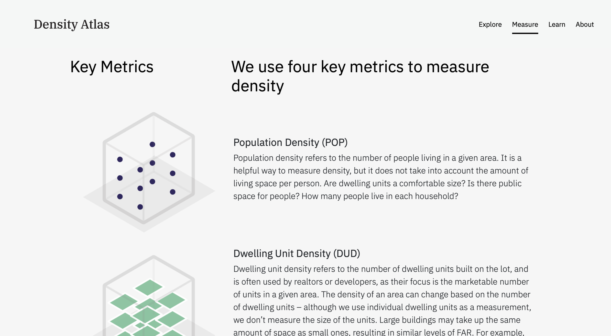
“Density” is a blunt expression that misses the nuances of urban design and social elements that contribute to a neighborhood’s desirability. To help the discussion, the Density Atlas was developed as a resource to compare urban developments using a standard metric and scale system. These comparisons allow planners, architects, developers, and students to understand the implications of population, building footprints, and urban design in residential densities across the world. The Density Atlas has more than 100 case studies of what density can look like that will help inform decisions regarding our built environment.
This study came about partly from discussions in Professor Tunney Lee’s planning and design studios in the Massachusetts Institute of Technology’s Department of Urban Studies and Planning (DUSP). The Density Atlas was handed over from DUSP to Sasaki for stewardship and improvement.
I worked on a complete redesign of the Density Atlas including UI design, content editing and updating, and an interactive 3D visualization tool for density metrics. The new site was launched in June 2021.
Collaborators: Timothy Gale, Julián Osorio
Supervisors: Ken Goulding, Mary Anne Ocampo, Martin Zogran


